

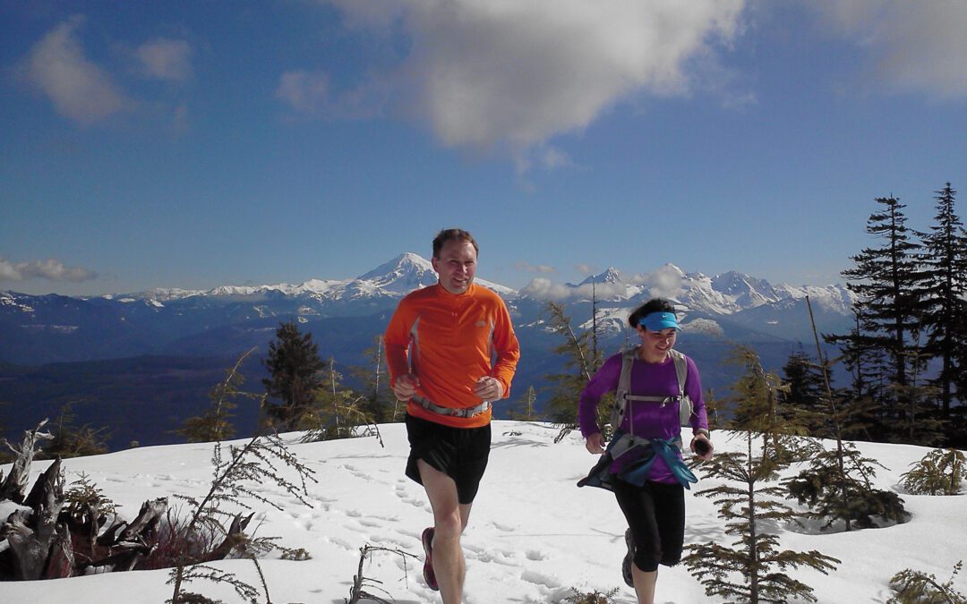
Our Work
Current Projects
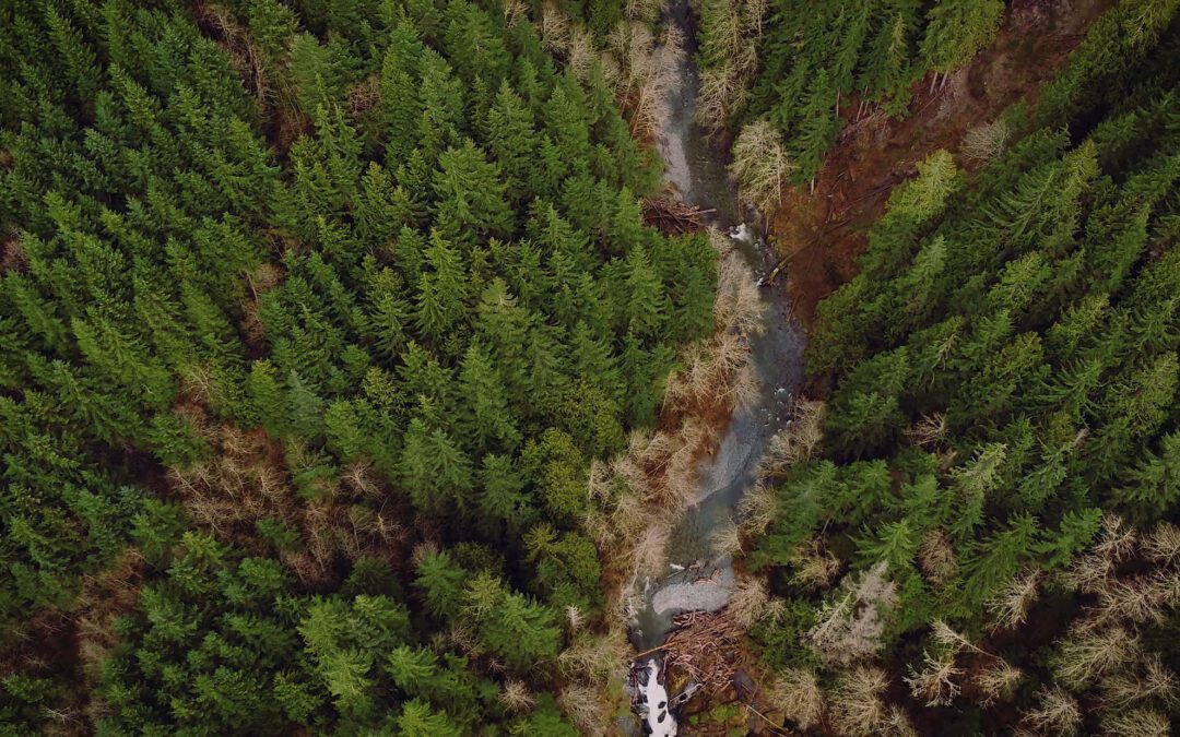
Skookum Creek Wildlife Corridor
The 2,200 acre Skookum Creek Wildlife Corridor is the largest contiguous wildlife corridor on private land in Whatcom County.
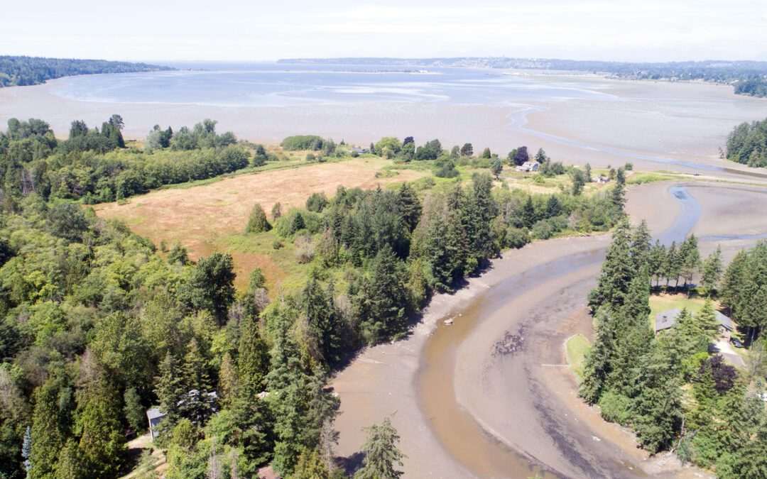
California Creek Estuary
At the south end of Drayton Harbor, the California Creek Estuary is a refuge for salmon, forage fish, and migrating shorebirds.
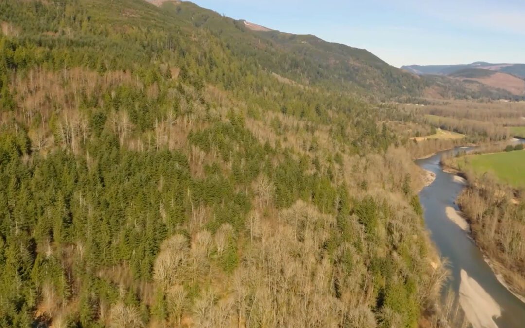
Stewart Mountain Community Forest
Stewart Mountain Community Forest is a collaborative effort led by Whatcom Land Trust, the Nooksack Indian Tribe, Whatcom County and Evergreen Land Trust.
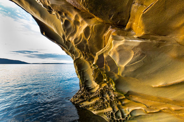
Governors Point
The coastal forests that reach down to touch the Salish Sea at Governors Point are a unique treasure.
Whatcom Land Trust ProTECTED LANDS
Lake Whatcom Park
Lake Whatcom Park is a large forested property owned by Whatcom County Parks on the east side of Lake Whatcom.
Deming Homestead Eagle Park
Located along the North Fork of the Nooksack River, the Deming Homestead Eagle Park is valuable shoreline habitat open to public day use.
Maple Creek Park
Located down the road from the town of Maple Falls Maple Creek is an important stream for the spawning and rearing of several salmon species.
Jensen Family Forest Park
The Jensen Family Forest Park stands out with its mature Douglas fir trees surrounded by agricultural fields.
Brinn Trail
Located northwest of Lake Padden near the Padden Creek falls, the Brinn Trail property is owned and managed by the City of Bellingham.
Chuckanut Ridge Wetland
The Chuckanut Ridge Wetland Conservation Easement property protects habitat and open space within the Cascades to Chuckanuts corridor.
Maple Beach
Located on Point Roberts and within the Pacific Flyway, the Maple Beach tidelands are important habitat for birds while providing passive public access.
Olsen Estate
The Olsen Estate, protected in 2002, is co-owned by Whatcom County and the City of Bellingham and part of Lookout Mountain Forest Preserve.
Anderson – Lake Whatcom
The Anderson-Lake Whatcom Park property includes a portion of the Whatcom County Parks managed mile-long Geneva Pond Loop Trail, which is part of the Stimpson Family Nature Reserve.
Geneva Preserve
Geneva Preserve is owned by the City of Bellingham for forest and wetland habitat, which also improves water quality of Lake Whatcom.
